Thursday, January 31, 2008

Lighthouse porthole


The walls of the lighthouse at Seal Point are 2 metres (6 feet) thick at the base, and they taper down as you climb higher. This creates wonderful shaped windows with deep recesses. Damp is always an issue there, the thick old rock walls act as a wick, sucking moisture up from below, and painting and maintenance is an ongoing issue. We took this shot while the lighthouse was in the process of being repainted. The loose paint had been scraped off, but not replaced yet.

Wednesday, January 30, 2008

Seals....


Seal Point is one of the best surf spots along the coast. It is not as famous as the legendary Supertubes in Jeffreys Bay, just down the coast, and the locals like it that way, as they don't enjoy jostling for space on the waves. But, because of the shape of the point and the wind direction, whenever the surf is flat elsewhere, it will be cooking at Seals.
This particular spot is called Full Stop, because there is a submerged rock, only visible at very low tide, which has literally brought many surfers to a full stop if they don't avoid it!
We have a family tradition that, whenever we drive into Cape St Francis, we go straight to Full Stop and park there to watch the sea for a bit, before going wherever we are heading for. One day we were driving along, and couldn't believe our eyes. We commented to each other that it must be extremely low tide because full stop was so big, sticking out of the water. Then we did a double take and realised it was moving, and we were looking at a whale right alongside us.... it was a breathtaking experience.

Tuesday, January 29, 2008

Chokka Fishing #2


We featured the chokka industry recently. Here you see the Calamai being unloaded from one of the fishing boats that has just returned from a few days at sea. It is packaged and frozen on board, as it is caught.

Monday, January 28, 2008

Floods


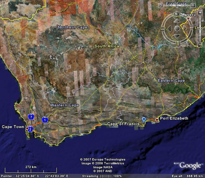
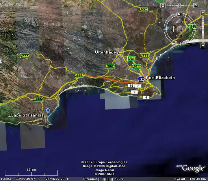
Why is man so slow to learn? Mess with Nature, and she bites back. We have featured the fascinating sand river before, and mentioned that the road is frequently bulldozed to keep the dune from encroaching over it. When the road was built it was basically just put across the sand river, with small pipes to allow for the river to flow under it. Because, for much of the year, it is a subterranean river system, with minimal flow, this seemed like a good idea at the time.


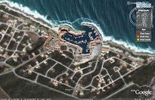
However, dunes migrate, and rivers flood. And natural wetlands act as giant sponges which absorb much of the water which causes flooding, thus reducing the impact. And when you mess with any of these, you will cause problems. The vlei (wetland area) adjoining the sand river system has been turned into a golf course. And in recent years the sand river has come down in flood more frequently, dumping vast quantities of the dune sand on the lower lying properties across the road.


This is all that can be seen of the very large bulldozer which used to be kept on site for regular dune clearing on the road.... after the flood of August 2006. 2007 was an unusually wet year, and the river flooded again in March and December. At some point a plan will have to be made to channel it more effectively and re-make the road so that it does not cause so much damage, but that may be a while. Judging by the state of all the roads in the area (pothole dodging could become a popular local sport) fixing the infrastructure seems to be low on the list of priorities for the local council.

Sunday, January 27, 2008

The Port Hole.


One of the buildings overlooking the working harbour houses a couple of good restaurants and pubs. Not surprisingly, they specialise in seafood. The design of the entrance to the building reflects its name, and the view across the harbour from the 'port hole' is great. We will take you inside the restaurant soon. (we recommend the 'catch of the day'!)

Saturday, January 26, 2008

Ajubatus Marine Wildlife Rescue

Jackass penguins at feeding time. As you can see from the wall behind them, they are much smaller than the king Penguin. (taken through sea spray covered glass, so a bit blurry)

Yesterday we showed you the King Penguin that ended up at St Francis. Isadora asked a very good question, 'Does this happen often? The reason I ask is that there is a Penguin rehabilitation center ready to help! I was surprised.'


So I am answering it with today's post. No Isadora, it is extremely rare to see a King Penguin in Africa. Ajubatus was created to rescue marine and wildlife in the St Francis area. They do a lot of work with the local Jackass penguins, which have become a vulnerable species, as well as seals and many other species too. So the king penguin was just really lucky that he got stranded where and when he did!

Here yours truly enjoys a cup of coffee and a view of the lighthouse. The penguin centre is the building between the coffee shop and the lighthouse, with the green wall.

They now have a base at the Cape St Francis Lighthouse, and raise funds by running a coffee and curio shop next door, and giving lighthouse tours.


I wanted to find out what became of the stray visitor so I phoned Jared of Ajubatus this morning for an update.... I also found a much nicer picture that Max took, as well of one of him when he first got there looking all bedraggled. You can read about it and see the extra pix here.

I also found a very interesting post giving details of his capture and rehabilitation here.

Friday, January 25, 2008

a rare visitor to these shores...

This King Penguin got seriously lost last year, he is supposed to live in Antarctica, but somehow ended up on our shores! He was in bad condition, but the good guys at the Ajubatus Penguin Rehabilitation Centre at Seal Point cared for him. The plan was for him to stay there until the next ship goes to Antarctica and he can hitch a lift home! Being accustomed to somewhat cooler conditions, the staff had to keep hosing him down because he couldn't handle the heat (even in our winter.) Unfortunately he was rather aloof so all we got was a cold shoulder!

Resident Seal


There is a Cape fur seal who is a permanent resident of the harbour. She is blind, and relies on handouts of fish from the fishing boats. She is quite entertaining as she wallows around waiting for breakfast.

Thursday, January 24, 2008

It's For the Birds!


On the top of the hill overlooking St Francis Bay is a group of large Pine trees. These have become the nesting grounds for a large family of Egrets and Herons. The birds congregate there each day at sundown, and the jockying for position as they settle in for the night is great fun to watch!

Wednesday, January 23, 2008

Don't mess with me.....


Stainless steel cladding on the bow of a Chokka boat in the Port.

Tuesday, January 22, 2008

Chokka


Chokka is a small squid like creature that used to be caught as bait in the fishing industry. Then some brilliant marketing person decided to sell it as a delicacy, and now Calamari is sold throughout the world as a seafood treat.
It is a highly regulated industry here, because it is plentiful off the coast between port Elizabeth and St Francis, and the fisheries department would like to keep it that way, so strict quotas are in place. Calamari is now known as 'white gold' to the fishermen, who can make huge amounts of money during "chokka season".
There is a lively working harbour at Port St Francis, as well as the yacht basin we showed you yesterday, and a fleet of chokka boats such as these are moored there. You will see large halogen lights strung across the boats, these are used to attract the chokka at night, they swarm up to the light and are caught in nets.
In the background is the pretty little village of St Francis Bay, with its characteristic white thatched houses.

Monday, January 21, 2008

The Yacht Basin

Port St Francis was developed about 10 years ago, and was quite a visionary project. The harbour and yacht basin were blasted out of solid rock, which was piled up to form the harbour wall and breakwater. It has become a thriving little fishing harbour from which the chokka fleet operates, as well as a holiday paradise with private jetties for many of the villas built along the breakwater. This is the view from the reception of the Port Hotel, overlooking the swimming pool and Yacht Basin.

Sunday, January 20, 2008

Sand River

As you enter St Francis Bay, where main road crosses the Sand River there is a sign warning motorists to be careful of sand in the road. Do not ignore this sign, as the Sand River is aptly named, because most of the year it is literally a "sand river" and when the wind blows, which it frequently does, the sand quickly starts building up over the road and has to be buldozed away.

However, when it rains the water starts flowing and the Sand River is transformed into a wetland paradise. The Sand River forms part of an ecologically sensitive dune system, which starts near Oyster Bay and ends up at the canals at St Francis Bay. One of the many objections to the proposed nuclear power station at Thyspunt, is that it will be situated at the start of this dune systen and will have the potential to contaminate river, with disasterous results.

The Sand River was also home to the Khoisan people many years ago and there is still evidence of their habitation in the area.

This link to the maXfiles will take you to a stunning sunset picture at the Sand River

Saturday, January 19, 2008

Cape Sunrise

The sun rises over the beach at Cape St Francis on a cold windy morning, with the wind blowing the tops of the waves back as they crash.

Friday, January 18, 2008

Surfing at Seals


Cape St Francis has a wonderful beach of pristine white sand sweeping around between Seal Point and Shark Point. At Seals there is a famous surf spot, as shown by some wag who added a little surfer to the speed hump sign!

Thursday, January 17, 2008

Fishing at Seal Point


One afternoon, when life was beyond hectic, and I had been chasing my tail for months and jumping through hoops with my interior design business, I brought a young Swedish friend out to St Francis to look around while I installed some curtains. When I had finished I was about to rush back to town (PE) and suddenly though "what for?" I was on such a treadmill I had forgotten how to relax. So we sat together on the rocks, taking photos as the sun went down. I used this picture as wallpaper on my computer throughout the following year, to remind me to to stop and smell the roses!

Wednesday, January 16, 2008

The Prisms


This is a view inside the dome of the lighthouse, showing the amazing design of the precision ground glass prisms. They magnify the light of this surprisingly small light bulb enough to show brightly kilometers out to sea.

Tuesday, January 15, 2008

Meet Lionel...

........ Who is the lighthouse keeper at Seal Point, and takes great pride in maintaining the old tower, and showing people around inside it. In the next few days we'll show you how it looks inside, and the incredible prism system.


Monday, January 14, 2008

Seal Point Lighthouse


This is one of our favourite spots on the planet, and it doesn't matter if the weather is fine or foul, there is always something so relaxing and awe-inspiring about it..... sitting on these rocks at the base of the lighthouse, watching waves smashing against them, seeing fishing boats and giant tankers skim silently past on the horison (there is a mean reef stretching out from the point so they give it a wide berth!) surfers enjoying the point break, large groups of dolphins going past, and between June and September, watching whales playing nearby. BLISS!

Welcome to St Francis


Hi, We are already doing the Port Elizabeth Daily photo blog, and since it is such fun, and we also spend a lot of time at St Francis, about 1 hour from PE, to the West. It consists of three main sections, spread across 2 bays and 2 points.
  • St Francis Bay is a little coastal village known for its pretty white cottages with thatched roofs. It includes shops and a small business centre, 2 golf courses, riverside plots and the canal system.
  • Further down towards Shark Point, Port St Francis was constructed, the basin blasted out of solid rock.
  • 5 km along the coast, at Seal Point, which boasts a lovely old masonary tower lighthouse, is the little village of Cape St Francis, which has a small sweeping bay with unspoiled beach to the East, and the "wild side" with waves crashing on a rocky coastline to the west of Seal Point.

    I wrote quite a detailed post last year on my personal blog, so if you want to know more about the area, you will find it here.

Monday, January 7, 2008

Where is St Francis?

Here, courtesy of Google Earth, are two maps, in case you are not sure where St Francis is....
the first shows the Southern coast of Africa, from Cape Town in the west to Port Elizabeth in the East.
The second goes in closer and shows the stretch of coast between St Francis in the west and Port Elizabeth in the east.